NASA's Goddard Space Flight Center and the Jane Goodall Institute
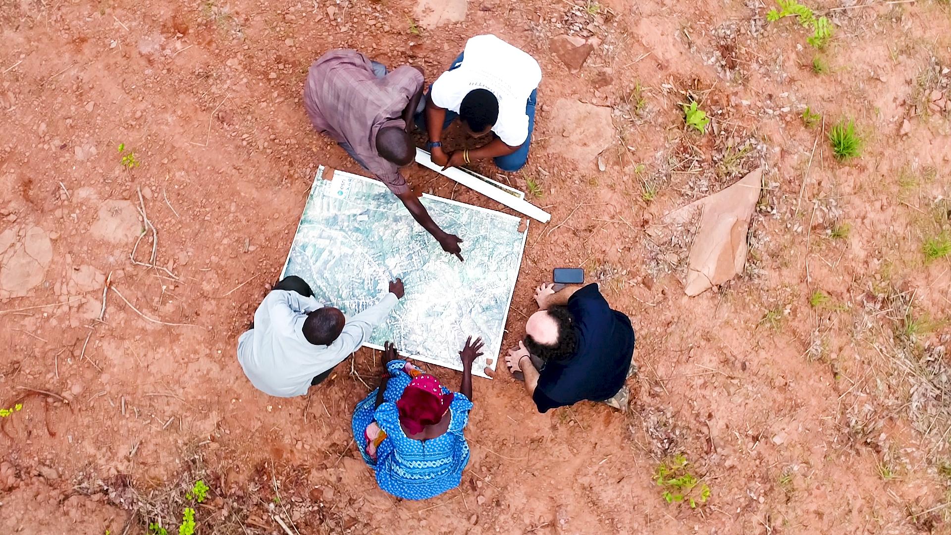
Earth-observing satellites like Landsat have documented the shrinking of chimpanzee habitat, Africa's equatorial forest belt. The Jane Goodall Institute uses Landsat and other satellite data to empower local communities to drive conservation on their own land by creating habitat suitability maps for chimpanzees.
Mobile apps also bring in data in real-time so communities can protect their village forest reserves, and create land use plans for watersheds, people, and chimpanzees. After years of forest loss, the last few decades have seen habitats recovering.
- Runtime8 minutes


